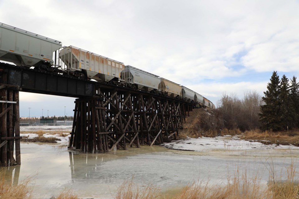
Warm March temperatures are following the second-driest winter ever recorded in the St. Albert region.
Spring has arrived, said Kyle Fougère, meteorologist with Environment and Climate Change Canada,
“We're slightly above normal right now, but it is typical at this time of year,” Fougère said.
“It’s is pretty typical to see a lot of variability in the spring.”
Over the weekend, the daily highs hit double digits, with Saturday bringing in a high of 13 C and Sunday ushering in another warm temperature of 11 C.
But while this wave of warmth may feel unseasonably warm, the region isn't shattering any records.
"We're not particularly warm for this time of year. We aren't setting records or anything with this type of warmth," Fougère said.
Typically, the average daytime high for mid-March sits at 3 C, with an overnight low of -7 C.
The warmer weather is being ushered in by a ridge of high pressure over the region right now, clear skies and the sun gaining strength as the region moves closer to summer.
"That enables the temperature to warm up at the surface," Fougère said.
The weather expert said the region had "quite a low snow pack" this year, and with less snow on the ground, it reflects less of the incoming solar radiation, helping the weather to warm up.
"The lack of snow likely helps with some higher temperatures. Whereas if we did have quite a bit of snow cover, then even with the same amount of sun, it wouldn't quite get as warm," Fougère said.
The low snow pack is due to the almost-record setting low levels of precipitation seen over the winter months. The region finished the year as the 2nd driest year on record.
Over the winter months, St. Albert and the region had 14.5 mm of precipitation fall but an average year the area has around 58 mm fall from the sky, despite the fact that meteorologists had expected the year to be more cold and wet than other years.
While low snow pack can mean a dry summer with more fires, Fougère said it is too early to determine what the fire season this year will look like, as the next few months typically usher in plenty of snow and rain that could change the fate of the fire season before the heat of summer sets in. And while the Edmonton region had a very dry winter, the rest of Alberta had wildly different conditions.
"In the Calgary area, they had 160 per cent of their normal precipitation for winter, so it was really just around the Edmonton area," Fougère said.
The warm weather is expected to continue with a high of 11 C on Wednesday with an overnight low of -3 C, a high of 13 expected on Thursday with a low of 0 C and a high of 13 C on Friday with an overnight low of -1 C.
Overall, spring in the region is expected to be relatively normal, but that can still bring both cold and warm snaps that fluctuate. Northern Alberta is expected to have a cooler than normal spring, while Southern Alberta is slated for some warmer than average temperatures.


